Protecting Forests via Open Innovation
 The internet and cheap air travel may well have made the world a smaller place, but there are still many uncharted areas, which we now know a little bit more about thanks to open innovation.
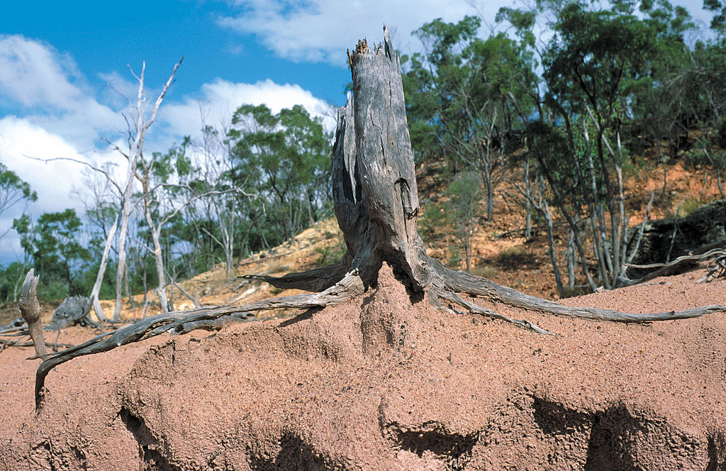
A crowd has counted the planet’s drylands forests and in the process charted forests that have never previously been mapped.
To help scientists map most of the world’s forests, computers automatically detect areas through satellite data. But algorithms only ‘spot’ tree cover as opposed to individual trees, which means they can miss trees in less-dense forests such as drylands.
So to get a clearer picture, researchers from the UN Food and Agriculture Organization, the World Resources Institute and a handful of universities turned to residents living near drylands forests to help through local map-a-thons.
Forest Insights
Google Earth collected data from several satellites and the team running the project divided the global drylands images up into 12 regions, each headed by a regional partner. It was the partner’s job to recruit local volunteers with knowledge of the landscape, and they would come together for the map-a-thons. Once trained, volunteers could identify 80-100 plots per day.
Researchers are keen to point out that the open innovation project “discovered” new forests in the sense that Columbus “discovered” the New World. Local people already knew they were there. Their help has been invaluable in adding to the satellite imagery to produce detailed maps, which would not be possible by satellite imagery alone. For example, they could say whether an image of a plant was actually that or whether it was in fact a young tree.
The maps will help Global Forest Watch to monitor the forests for slow-moving events, such as degradation and restoration. This will help guide decisions over land use and enable governments and businesses to demonstrate that their environmental pledges are being fulfilled.
Reader Comments
They must use Drones in flights in the territories where they want to carry out the surveys, at different heights, to obtain all the necessary images to make the maps with images and objective surveys and with details.
Posted by Roberto Valdes Martinez on April 29, 2018
The groups associated to neighbors of the zones, that use drones (Aircraft in miniature) to obtain the required images and to identify the existent plants in the different zones.
Posted by Roberto Valdes Martinez on April 28, 2018
This is a great idea. It is amazing how much can be achieved through collaboration of global community living in forgotten places. This will definitely be helpful in deciding where conservation effort needs to be concentrated
Posted by xavier on September 25, 2017
What a great idea. I remember something like this happening about ten years ago when the British Space Agency was trying to map the stars.
They wanted people to use their computers to scan unexplored areas of deep space for signs of life. It was a program that ran when you weren't using your computer.
I worked in a large office at the time, which operated round the clock. On the day the early shift read about the idea and signed up from their work computers later shifts were completely paralysed...
Still, this is a great idea and one that should move the data forward very quickly.
Posted by Henry Morgan on August 17, 2017
A great example of how advanced technology (satellite imagery) , by itself, is only half the solution...human "eyes on the ground" (in this case) fills in the details missed by remote monitoring algorithms. This is a great example of a human-tech synergy and what it will take to preserve/protect ecosystems and habitats in the future.
Posted by M.Ricciardi on August 16, 2017
Add your Comment
[LOGIN FIRST] if you're already a member.fields are required.